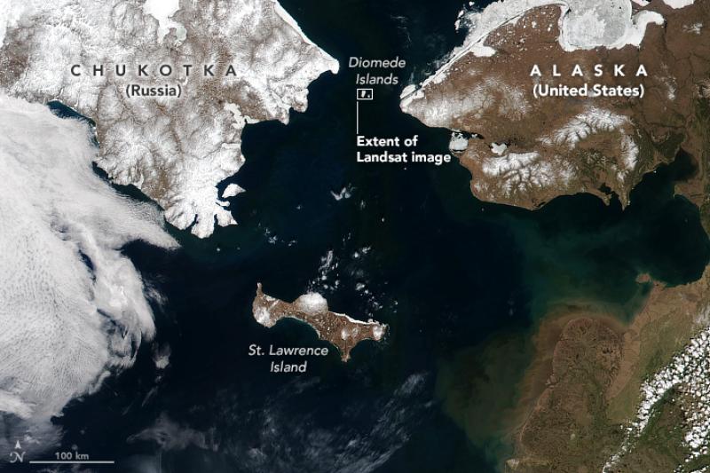
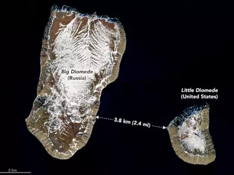
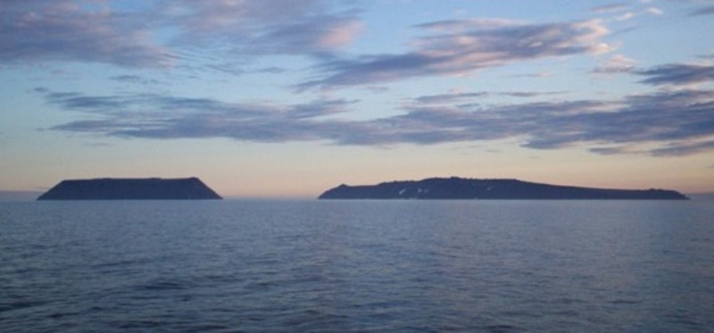
A TikTok user has racked up thousands of views by explaining how two islands have a 20-hour time difference. That’s not it. The distance between these islands is less than 3 miles apart.
The Diomede Islands are separated by the International Date Line, which passes through the Pacific Ocean, marking a clear time boundary between the two locations.

Nasa
Big Diomede is in the easternmost point of Russia and Little Diomede is within the United States’ border.
Check out the video here:
@contentdroppedThere are some weird places on the world #fyp#fypシ#maps#countries#usa#Россия♬ Adderall (Corvette Corvette) – Popp Hunna
“There are some weird places in the world. These are the Diomede Islands, they sit on the Date Line. They have a 20 hour time difference, even though they are only 2.5 miles apart,” a voiceover explains the phenomenon.

Nasa
The International Date Line (IDL) separates the two. Big Diomedes is 20 hours ahead of Little Diomede – so they have become known as Tomorrow Island (Big Diomede) and Yesterday Isle (Little Diomede).
According to CN Traveler, in 1867, when the United States bought Alaska from Russia, the treaty used the two little islands as a benchmark to draw the border, which would divide “equidistantly Krusenstern Island, or Ignalook, from Ratmanov Island, or Noonarbook, and [proceed] due north, without limitation, into the same Frozen ocean.”

But you know what’s another most mind-blowing fact about the whole situation? In winter, an ice bridge forms between the two islands, meaning you can quite literally travel through time. Unfortunately, it’s absolutely illegal to do so!
Unsurprisingly, the people of TikTok were left baffled by the bizarre discovery, with several pointing out how crazy it would be if, for whatever reason, anyone needed to work on both islands.
‘Imagine working on both islands. You could do two eight-hour shifts on the same day,’ one person commented.
What are your thoughts?


